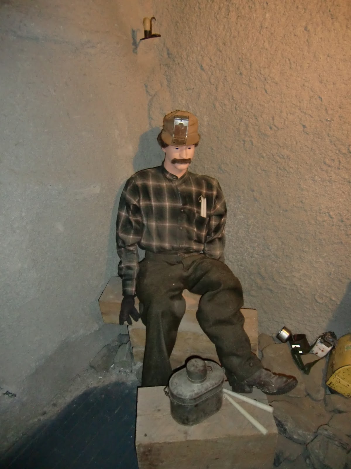
Wednesday, July 31, 2013

Vacation Day 9 - Casper, WY to Estes Park, Colorado

Wednesday (July 31) – Trip Day 9 (Casper, WY to Estes Park, Colorado) – More miles today – drive, drive, drive.  Today we drove about 5 hours to get to just outside Rocky Mountain National Park.  The first half of the drive was across southeastern Wyoming.  It is relatively flat to lightly rolling wheat land – not much to look at.  The oil wells that appear here and there are the most notable thing here.   Driving into Colorado we began to see the Rocky Mountains off to the west.  The traffic really picked up from Fort Collins south. The road to Estes Park was absolutely spectacular as we drove up the narrow Big Thompson River valley with high perpendicular cliffs with beautiful rock formations. It is very much like Yosemite.  Estes Park is a large tourist community of over 5000 permanent residents, at an elevation of 7500 feet.  It is Carmel, California, in the Rocky Mountains with hundreds of eclectic shops in a pretty little downtown.  The weather all day was off and on showers but it was nice in the late afternoon and early evening when we went through downtown and out to eat.
This is the main street in downtown Estes Park.

When we got back to the motel there were tornado warnings – but or an area southeast of Denver whereas we are northeast of Denver.
Clouds to the east at sundown.

 Sunset over the Rockies in Estes Park.

We had to clean out our car as there are warnings here that even in town you should leave no food in your car because of the wild animals (aka – bears!)

Vacation Day 8 (Keystone, SD to Casper, WY)

Tuesday (July 30) –Trip Day 8 (Keystone, SD to Casper, WY) – We took off about our usual time – and drove through Custer, SD and then on south through the Black Hills and then generally south-east through the high plains towards Casper, Wyoming.  The land was generally rolling and about the only activity was dry farming of wheat and some alfalfa for the cattle that are raised here.
This is a railroad crossing arm but no railroad.  What are they for?  Well, they are there to stop traffic in the winter when the road is closed.  There will be a sign that says road closed ahead when this sign is flashing.  Then you come to the crossing arm and it will be down stopping you from continuing. 

 We drove through Casper and headed out to Martin’s Cove (the LDS Handcart visitor’s center) which was about a hour south-east of Casper.  We stopped at Independence Rock – where the pioneers carved their initials on it as a way to say “I was here.”

 Then we Hole in the Rock – where the Platte River has cut a narrow gorge through a mountain.
Hole in the Wall is the gap behind the Son Family building in the foreground.


Then right past there was the Martin’s Cove site.  It was here that the Willie and Martin handcart companies were stranded and had to be rescued.  They have a nice visitor’s center here and there are trails out to Martin’s Cove itself.  Because it was late we passed on the trail as it would have been a two mile walk and it was already past 5 PM.  Driving along the California/Oregon/Mormon trail it is hard to imagine anyone actually pulling a cart all this way, let alone in the snow.


 This is a portion of the sign showing the rescuers - Wilkins - is my 3rd great grandfather, Alexander Wilkins, Sr.  From his life story:   In 1856 he was sent to meet the handcart company that was so late in  starting across the plains that they were snowed in in the mountains.   Provisions and clothing were taken in the wagons drawn by teams from Salt Lake City.  The handcart company was rescued but many died from hunger and freezing.  Alex returned 1 Dec 1856.

 Barbara voted to NOT cross the nation this way.

Monday, July 29, 2013

Vacation Day 7 (More of the Black Hills)

Monday (July 29) – Trip day 7 (Around Mount Rushmore) – We took it slow this morning – it is one day we don’t have to jump up and get going.  We ate at the hotel restaurant as there really isn’t much else here for food.  It was overpriced and only fair food.  We went back up to Rushmore in the daylight – under nice clear skies.  I wanted to see more of the displays and of course Barbara wanted souvenirs. 
From the avenue of flags of the states 

Love this picture.

 From there we went a few miles south to the Crazy Horse monument.  This is a private endeavor and if ever finished it will be huge.  It will 563 feet high and 641 feet long.  By comparison, Mount Rushmore would fit on the head area of Crazy Horse.  Blasting started in 1948.  The artist died in 1982 and the family continued to work on the monument.  In 1998 the face was finally finished.  It is run by a private nonprofit foundation that supports the Native Americans in this area.  It has a large Indian museum and one day will also house a university medical campus for Indians.
This is the extent of how much has been done - long way to go.

 The monument is intended to look like this some day.  Sitting Bull is pointing to his lands.

 .  From there we went down to the town of Custer for lunch and to scout out food possibilities for the morning.  Finding none we found a grocery store and purchased food for the morning.  From Custer we traveled east to the Custer State Park.  I wanted to see some new territory and possibly some animals.  We were able to see some mountain goats along the highway, a family of buffalo out in a meadow, and several white tailed deer.
Mountain goats along the road.

 A long way off but there is a buffalo out there and a couple of babies are behind out of site.

 .  It rained off and on most of the day after we left Custer.  Because of all of this rain this country is so beautifully green.  The only drawback is the millions of pine trees that are dying due to being infested by Pine Bark Beatles.
No, the leaves are not changing - those are dead trees in the middle of the picture.

 We took a really narrow and windy road back to Keystone that included 3 small tunnels and at least one place where the road made a total loop around a hill actually crossing over itself.  It was like a corkscrew.

Vacation Day 6 (Spearfish, SD to Mount Rushmore, SD)

Sunday (July 28) Trip Day 6 (Spearfish, SD to Mount Rushmore, SD) – Today being Sunday we started the day out by going to church at the nearest LDS congregation we could find – in Belle Fourche – as they had a 9 AM sacrament meeting.  We got there 5 minutes early and there were about 10 people there but they operate on MST (Mormon Standard Time) and by 10 minutes into the meeting there were maybe 60 there.  This being a small town I wasn't surprised by the small congregation.  We didn't see it but there is a monument in Belle Fourche commemorating the fact that it is the geographic center of the 50 States.   We went back to the motel in Spearfish to change.  By the way – first time I have ever found a Tornado Warning plan in a motel/hotel book in your room.  I guess this IS tornado country.  
Bear carving in front of our motel in Spearfish.


 We drove the 10 or so miles south to Deadwood and Lead – old mining towns in the Black Hills. Since it was Sunday some of the things I would have liked to do were closed.  We also apparently missed a couple of attractions too.  So we ended up in Lead at the Homestake Mine Visitor’s Center.   The mine does go down to 8000 feet  below the surface but at the surface it resembles an open pit mine like the Bingham one in Salt Lake.  Since my grandfather was a gold miner I wanted to see what I could learn.  The weather was threatening thunder and lightning but we only got a few big drops in town. 
 This is the open pit part of the mine.  Lead (the community) had to be moved when the started this open pit.

 We next went down the street to the Black Hills Mining Museum where I did learn a lot.  We took a tour into a replica of a mine and had a chance to see gold mining from the 1870’s to near the present explained and shown through exhibits.  It was very well done.  The museum part of the building was good with many historical artifacts. 
 

This is the dress of a typical miner before the turn of the century.  No hard hat for him!  Everything was done by candle power so the hat had a device to place a candle on to illuminate things.  We he got to his work area the candle was place in the holder driven into the rock - above his head.

 Everything was done by one man power.  Here the miner is boring out a hole to place dynamite in to blast out the rock.

 Each hole would have a stick of dynamite and the fuses would be set to different lengths so they would go off in a pattern - with the center first and then the outside area.  I doubt my grandfather made all these - probably just a few at a time.  He died in a mine blast when he had to go back into the mine after a set of these charges didn't all go off.  His job as foreman was to "muck" out the unexploded charge - but it blew up when he was right next to it - killing him immediately.

 After the charges loosened the rock the miners would fill up their buckets with the debris - which would be processed for gold.  A typical bucket could hold a ton of rock.  Miners were expected to fill at least 16 per shift - hence the 16 Tons song.

 Placer miners did their work with a pan or other device working the loose sands.  Barbara tried this out at the museum and did quite well - she panned over 10 grains from her pan.  I am thinking of shipping her to Alaska with a pan next summer to augment our income with some prospecting!  (Joking)


We then drove south through the beautiful Black Hills, through off and on rain showers to Mount Rushmore.  We are actually staying in Keystone – two miles from the monument.  After a nice dinner in town we drove back to Mount Rushmore.  It is free to everyone but to get in you need to park your car – and it is $11(for a year pass).  The local Indians have the concession so you have to pay your money.  What can I say – sixty foot tall heads carved into granite over the period of 17 years..  Spectacular is a good word to describe it.  We stayed for the night lighting of the monument but I wasn’t able to figure out the right setting for my camera – but the day time pictures are better in my estimation anyway.

This evening picture is OK but not as crisp as a daytime one would be - I'll try tomorrow.


Saturday, July 27, 2013

Vacation Day 5 (Billings, MT to Spearfish, SD)


Trip Day 5 -  (Billings, MT to Spearfish, SD) During the nighttime hours we had a terrific thunder and lightning storm about 3:30 AM.  It lasted for 15 – 20 minutes and sounded like it was right outside the motel.  Come morning everything looked dry but our car was now really clean thanks to the rain storm.  We left about 9:30 for the Little Big Horn Battlefield monument about an hour south east of Billings.  This country isn’t spectacular but is very pretty with rolling hills, light tree cover in places and most all the grasses are green.  Alfalfa is about the only agriculture here other than the grazing of cattle.  The Little Big Horn national monument was very nice – they had a good visitor’s center and we partook of a guided tour of the battle ground led by the Crow Indians (whose reservation we are on.)  It was very informative and interestingly from the Indian’s point of view.  Of course they stress how past treaties were broken – especially when gold was found in the Black Hills and the Souix were driven from their lands.  Crazy Horse and Sitting Bull were leading a band of mixed Indian tribes that refused to be moved to new reservations.  There were between 7 and 8 thousand Indians in this group with 2,000 being warriors.  The soldiers had no idea what they were facing, thinking the group was significantly smaller.  The Indians were camped along the Little Big Horn River in a camp that stretched from 3 to 5 miles.  Custer took his forces and broke them into 3 groups and tried for an encircling effort that totally failed and cost the lives of over 200 Americans.  Ironically the Indians won the battle but this brought about the end of their war as the Americans mobilized larger forces after this and squashed the Indians and drove them into their reservations.  
This is the beautiful river bottom where the Indians were encamped. 

 Indian monument located just to the north of Last Stand Hill

 Deaths on this battle field are marked with grave markers.  Red for Indian deaths.

White for the Americans and in this case their animals.

 Large monument for all the Soldiers and others who died here - names are on all 4 sides.

A typical grave for a soldier - we know who died but not where they died in most cases.

This is Custer's marker - near where his body was found - but he is actually buried at West Point, where he graduated near the bottom of his class.

Also located here is a national cemetery which is the resting place for soldiers and close dependents from the Spanish American, First and Second, Korean, and Vietnam wars.  


Driving south from Little Big Horn we eventually reached Gillette, Wyoming (the Energy Capital of the United States.)   We passed a gigantic refinery on one side of the highway and a huge open face coal mine on the other side of the road.  East of town were literally miles of coal trains lined up waiting to be filled.  We had passed some on the way to Billings earlier in the day.  From Gillette the land leveled out for quite a while into relatively flat grasslands before beginning to climb again as we headed towards the South Dakota border. The land was made prettier as more and more trees were there and the land was a deep red in color.  We turned off I-90 near the border and took a side trip to Devil’s Tower – the nation’s first National Monument created in 1906.   This 1200 + foot high igneous monolith rises out of the surrounding prairie and is the remains of an ancient volcano.  I have wanted to see it since I was a little boy and collected the stamp depicting it.


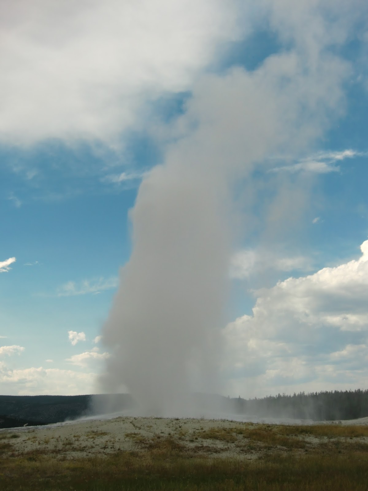
Our day ended with us arriving at Spearfish, South Dakota about 7:00 PM.  We have now covered over 1000 miles and driven in 5 different states.

Vacation Day 4 (Gardiner, MT to Billings, Montana)

Barbara had an unwelcome guest for breakfast.

 Today, after a good breakfast at our Comfort Inn, we made the short run back into Yellowstone Park to see Mammoth Hot Springs, which we drove past yesterday.  To get back into the park we had to pass under the Teddy Roosevelt Arch which was built in 1903 in Gardiner, Montana, at the main entrance into Yellowstone in those days.  Mammoth Hot Springs which are composed of mineral deposits that form pancake like formations that the springs run across.  It wasn’t very spectacular this time as most of the water has died up leaving the formation with the look of a wasteland.


 On the way back to Gardiner we did stop at a sign that sits right at the 45th parallel making it exactly the same distance from the North Pole as the equator. 
 

 On the road to Livingston, Montana we actually saw several small herds of buffalo.

 At Livingston we visited the local Yellowstone Gateway Museum.  It was a very nice community museum.  It had a lot of history displays of the park, Lewis and Clark, Indians and pioneers.  We had a fun hour just going through the exibits and taking pictures of the things there.  After eating lunch and gassing up the car, we headed eastward towards Billings.
 Bob pushing an ore bucket like his grandfather would have used in a gold mine.

 Once a teacher - always a teacher.  Barbara is the school marm of the old one-room school house of the 1800's.

 We stopped along the way at a little state park called Graycliff Prairie Dog town.  There wasn’t much there but interpretative signs and a small prairie dog colony.  It was nice to see prairie dogs in their native environment rather than just at a zoo. 
 

We got into Billings at 4 PM and could have done a little more tourist activities but we opted to do laundry.  Barbara would have preferred doing it on Saturdays but I fear we will be later getting into our destination tomorrow.    

Friday, July 26, 2013

Vacation Day 3 (Rexburg, Idaho to Gardiner, Montana)

Thursday (July 25) – Trip Day 3 – Rexburg to Gardner, Montana – We left Rexburg in the morning heading southeast so that we could loop around the south end of the Grand Tetons.  The pass took us through Driggs and over an 8000 + foot pass and down into Jackson Hole (which was way too crowded.  

 We drove on up to Jenny Lake and had our lunch along the banks of the Snake River where it empties out of the lake.  The last time we were here we ate at the exact same place.  We were running behind schedule so we cut off our relaxing lunch hour and started on north for Yellowstone.  We reached a construction zone that advertised that we might have a 30 minute wait as we were flagged to a halt. About 50 minutes later we finally got moving – so what held us up?  A boat accident!  A LARGE boat was being hauled by a regular truck cab.  They apparently struck the side of a bridge - as this was an oversized load and apparently ended up stuck to the bridge.  Eventually they got it loose but as it passed we didn’t even see any damage, so who knows. Now we were seriously behind schedule.  We were using our America the Beautiful Senior Pass so we didn’t have to pay the $25 entry fee to Grand Teton or Yellowstone – so we weren’t out any money. 

Barbara has a repressed desire to be a waitress at times.
 

 This is our 3rd trip to Yellowstone so we have seen most of it before.  Of course we wanted to see Old Faithful but naturally we had an almost 1 hour wait that ended up being more like an hour and twenty minute wait.  Old Faithful should be renamed Less Faithful, but anyway.  Now we were really late.

Barbara can be a hot head at times.


We basically drove through the rest of the park so we could get to Gardiner and have dinner at a descent hour.  Along the way we saw a lone wolf, a herd of about 12 elk grazing in a meadow and 5 antelope on a mountain side.  We finally pulled into Gardiner about 6:45.  We checked into our hotel and then ate an excellent meal and our day was shot. (My pictures of the elk turned out to be a picture of a bush!)